




Special Mission Aircraft: What the Tecnam P2012 SMP Does for Operators
In short. The Tecnam P2012 Special Mission Platform (SMP) is a twin-engine piston aircraft built to carry sensors and up to five mission operators. Operators use it for aerial survey and mapping, power line and pipeline inspection, precision farming, pre-construction photogrammetry and surveillance. Its pitch is a certified twin with the fuel economics of a piston engine, belly hatches for LiDAR and cameras, and onboard power for the mission system.

What is a special mission aircraft?
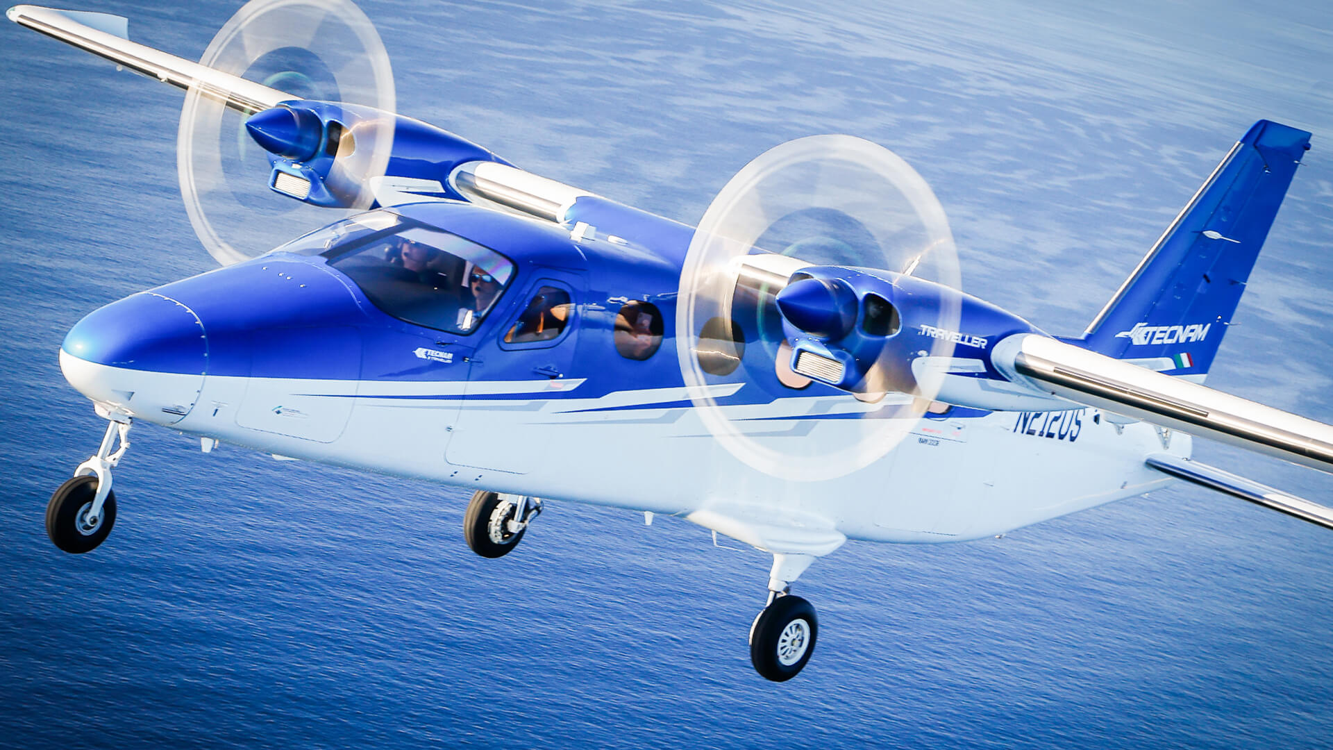
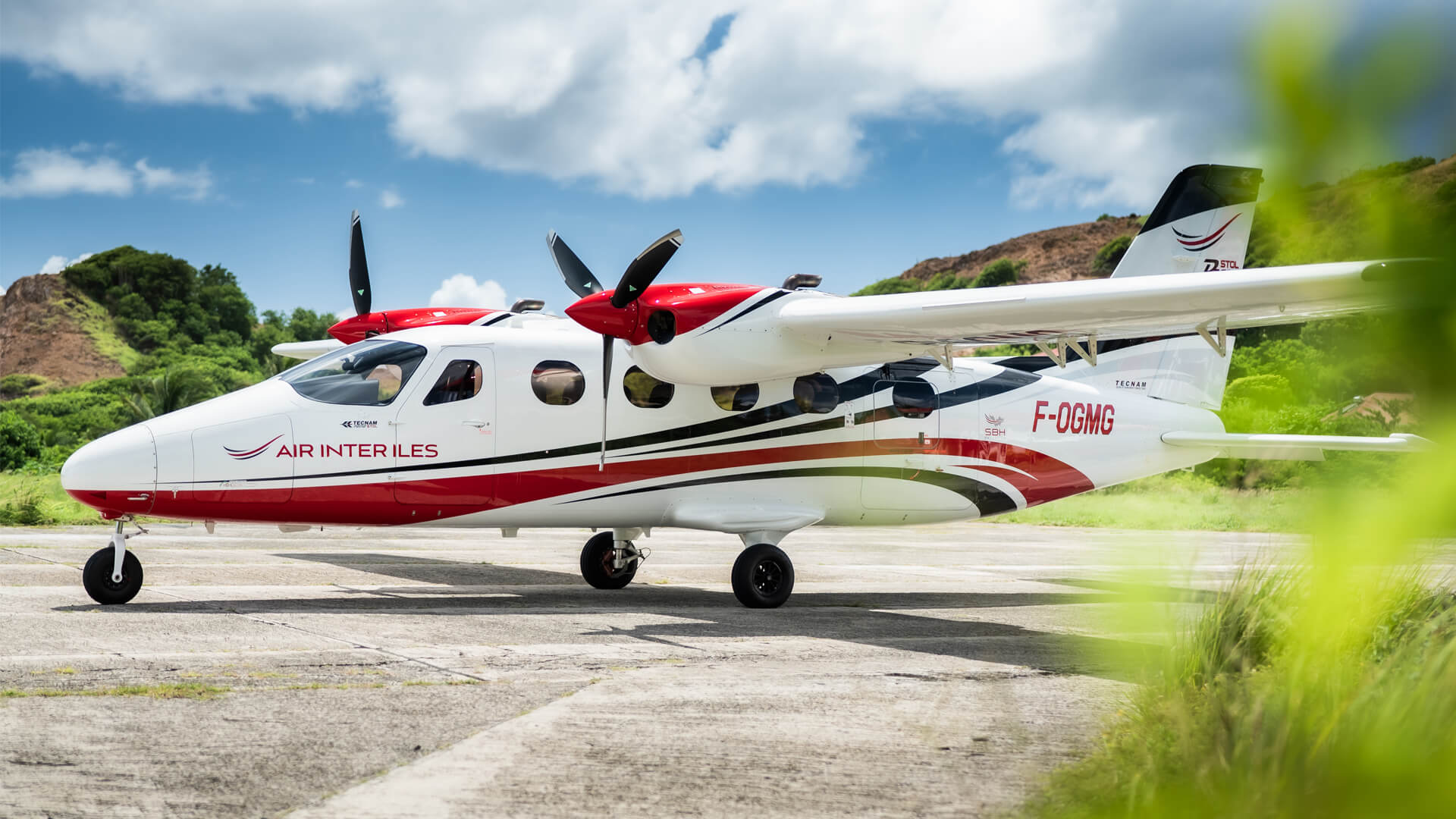
A special mission aircraft is flown to collect data or perform a task, not to carry passengers: it carries sensors, a mission system and operators, and its value is measured in what it delivers on the ground (a survey, a map, a detection), not in seats sold. The P2012 SMP is Tecnam’s version for this work, derived from the P2012 Traveller airframe.
What the P2012 SMP offers
| Feature | P2012 SMP |
|---|---|
| Crew | 1–2 pilots plus up to 5 mission operators |
| Engines | 2 × Lycoming TEO-540-C1A, 750 hp total, electronic engine control, avgas 100/100LL |
| Sensor access | Two belly hatches, each 735 × 567 mm |
| Mission power | 28 VDC up to 120 A · 115/230 VAC at 1,200 VA · 14 VDC connectors |
| Useful load | 1,330 kg (2,932 lb) |
| Cabin / cargo | 8.9 m³ cabin · 1.7 + 0.4 m³ cargo |
| Cruise / range | 194 kt (359 km/h) at 10,000 ft · 850 NM (1,574 km) |
| Fuel burn | About 31 US gal/h (117 L/h) · tank 198 US gal (750 L) |
| One-engine ceiling | 10,000 ft at MTOW |
| Weather | TKS ice protection, certified for flight into known icing (FIKI) |
| Cockpit | Garmin G1000 NXi, GFC-700 autopilot, SPACE (Single Pilot Advanced Cockpit Environment) |
| Certification | EASA and FAA, CS-23 / FAR 23 |
Source: Tecnam P2012 Sentinel SMP.
How operators use it
Power lines and pipelines. Both mean covering hundreds of linear miles with LiDAR and cameras, which is where range and a low cost per mile matter. The Tennessee Valley Authority flies the P2012 SMP over its transmission lines to find vegetation threats (see below). The same approach fits pipeline right-of-way monitoring.
Mapping and photogrammetry. Air Data Solutions, a US provider of aerial imaging and geospatial data, uses two P2012 Sentinel SMP for mapping, photogrammetry and inspection. Aerial photogrammetry and LiDAR also produce the topographic models and surface maps needed before large infrastructure works: highways, railways, logistics hubs and large commercial developments such as shopping centres and supermarkets.
Precision farming. Multispectral and other imaging over large areas lets agronomy and data companies map crop condition field by field, and a twin that carries the sensors across wide areas in one sortie suits this kind of work.
Surveillance and maritime missions. In Taiwan, Apex Aviation built its Goshawk maritime ISR aircraft on the P2012 SMP, with radar, electro-optical/infrared and LiDAR bathymetry sensors. Tecnam’s product page also lists border surveillance, fishery and exclusive economic zone (EEZ) control, anti-pollution and search and rescue among the missions the platform is designed for.

Three operators, three missions
| Operator | Mission | What they report |
|---|---|---|
| Tennessee Valley Authority (USA) | Vegetation survey over 16,000+ miles of power lines | About 450 miles a day with a two-pilot crew against up to 5 for a ground crew; helicopter operating costs 75% higher than the airplane’s (TVA) |
| Air Data Solutions (USA) | Mapping, photogrammetry, inspection | Two P2012 Sentinel SMP delivered in July 2025 to a fleet of 20 aircraft |
| Apex Aviation (Taiwan) | Maritime ISR (Goshawk project) | Integrated radar, EO/IR and LiDAR bathymetry; presented at TADTE 2025 |
Figures are those reported by the operators and Tecnam, per program.
“
We’re able to inspect much faster, much safer, with a great level of detail.” — Will Sanders, TVA Right of Way Program Manager
“With extended range and endurance, the P2012 enables wide-area surveys with fewer refueling stops, making it an efficient and cost-effective solution.” — Don Cummins, President, Air Data Solutions
“The Goshawk Project embodies Apex Aviation’s vision of becoming a new breed of partner for Taiwan’s defense ecosystem—offering rapid capability build-up, cost-effective sustainment, and true force-multiplier effects for government and end-users.” — Wilson Kao, CEO, Apex Aviation
TVA’s case in detail: the aircraft carries a LiDAR scanner able to survey more than three acres of land per second and four cameras; foresters use the data to send crews to the exact spot where vegetation threatens a line. Read the TVA announcement.
Why a piston twin
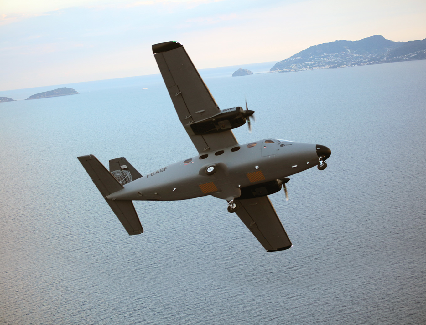
- Two engines. Tecnam designs the SMP so that it keeps flying on one engine: 10,000 ft ceiling at MTOW with one engine out. Operators flying over forests, mountains, water or populated areas get that margin.
- Hatches clear of exhaust. With a twin, high-wing layout the belly hatches sit clear of engine exhaust, according to Tecnam.
- Single-pilot certification. The aircraft is certified for single-pilot operation, with a class rating and no type rating required, according to Tecnam.
- Fuel burn. About 31 US gal/h for the whole aircraft, flown at the low and medium altitudes where most survey work happens.

What to consider before choosing
- Range and endurance. Published range is 850 NM at 194 kt; check your mission profile (transit plus on-station time) against it.
- Sensors and integration. The aircraft provides hatches, power and operator stations; the mission system and its certification are specified by the operator or an integrator, as Apex did for Goshawk.
- Fuel. The engines run on 100 or 100LL avgas; confirm supply at your bases.
- Payload. Useful load is 1,330 kg including crew, operators, fuel and equipment.
FAQ
What is a special mission aircraft?
An aircraft configured to carry sensors, a mission system and operators to collect data or perform a task, rather than carry passengers.
What missions can the Tecnam P2012 SMP fly?
Operators use it for aerial survey, mapping and power line inspection (TVA, Air Data Solutions) and for maritime ISR (Apex Aviation). Other civil missions it suits include pipeline monitoring, precision farming and aerial photogrammetry ahead of major construction such as highways, railways and large commercial sites. Tecnam also lists border surveillance, fishery and EEZ control, anti-pollution and search and rescue.
How many mission operators can it carry?
Up to five mission operators, in addition to one or two pilots.
What sensors can the P2012 SMP carry?
Two belly hatches of 735 × 567 mm and 28 VDC power up to 120 A allow LiDAR, cameras, electro-optical/infrared turrets and radar. Customers have flown LiDAR and multi-camera systems (TVA) and a radar, EO/IR and bathymetric LiDAR suite (Apex).
How far can it fly and how much fuel does it burn?
Range is 850 NM (1,574 km) at 194 kt cruise; fuel burn is about 31 US gal/h (117 L/h) with a 198 US gal tank.
Can the P2012 SMP be flown by one pilot?
Yes. It is certified for single-pilot operation with a class rating, and Tecnam states that no type rating is required.
Is the P2012 SMP certified?
It is certified by EASA and the FAA to CS-23 / FAR 23, and TKS ice protection is certified for flight into known icing. Validation in other countries depends on the local authority.
Talk to our Special Missions team → Request brochure · Francesco Sferra, P2012 Special Missions Platforms
Impact
- Utilities and pipeline operators — Survey from the air turns months of analysis into minutes; the question becomes which assets to send crews to first.
- Infrastructure developers — Photogrammetry and LiDAR before design give road, rail and commercial-site teams a surface model before work starts.
- Agriculture and geospatial data providers — Wide-area imaging in one sortie: data is sold, not flight hours, so cost per area covered is what counts.
- Government and maritime agencies — A certified twin with hatches and operator stations is a platform on which to integrate surveillance sensors, as Apex did in Taiwan.
- Sensor and mission-system integrators — Hatches and power already in the airframe reduce the work of fitting LiDAR, cameras and radar.
Sources
- Tecnam, P2012 Sentinel SMP product page and technical data
- Tecnam press releases: TVA (13 April and 21 October 2026), Air Data Solutions (25 July 2025), Apex Aviation Goshawk (18 September 2025)
- WKRN News 2 Nashville, 14 October 2026: https://www.youtube.com/watch?v=xtVGL6KZEo4
- AviNews (Avi-Go), 22 October 2026: https://avi-go.com/news/articles/24c9948e6adcc7ff66a39ee70ad345ff